This weekend, I, along with three other paddlers, did a circumnavigation around Wrightsville Beach and Masonboro island. Our original plan had been to start at Trails End Boat Launch, then circumnavigate Masonboro, camping one night on Masonboro Island and then doing Wrightsville Beach the next day, returning to Trails End Park.
However, one of the local paddlers was kind enough to let us stay at his house, so we opted to do them as two day trips and enjoy the comfort of some air conditioning and restaurant cooked food.
Wrightsville Beach Circumnavigation
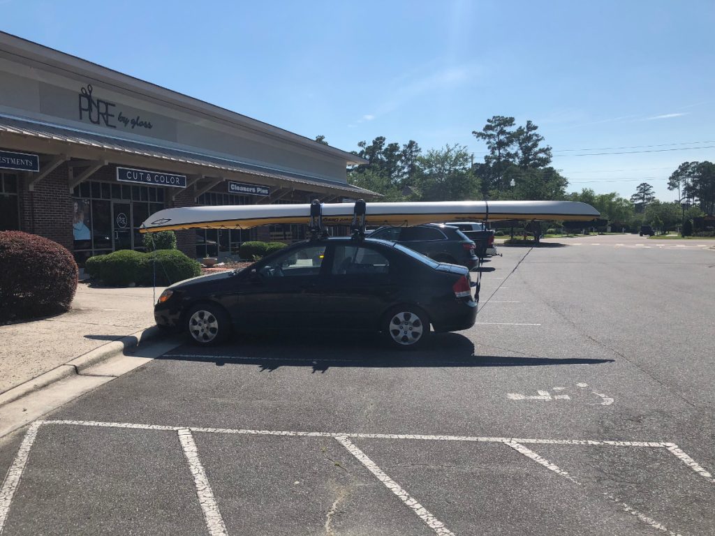
On Saturday, we put in at the public boat ramp under the draw bridge that crosses the Intercoastal Waterway to carry you onto Wrightsville beach. From there, we paddled about 3.5 Miles North to go out Mason Inlet.
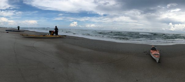
Tides were with us, so we made good time and there was only mild chop going out the inlet. We then traveled south about 5 miles ocean side along Wrightsville Beach, making one beach landing, before paddling around the jetty and through Masonboro Inlet.
There were some confused seas coming around the jetty, which were fun, and after we made it around the jetty and out of the boat lane, we practiced a few rescues, before doing another beach landing. Even though we were protected from swell at this point, the area where we stopped was right on the corner heading out to sea and got a lot of boat swell, which created some fun confused seas.
On the way back to the put-in, we stopped at Dockside Restaurant, which is a local bar/restaurant that has a dock for boaters to pull up to, for some burgers and shrimp.
There was a chance of thunderstorms during the day and we got rained on a bit, which was nice given the heat. It was also overcast, so we didn’t get a ton of sun. Despite the chance of rain, the beach was still very crowded and we had to take extra care doing our beach landing, so as to avoid hitting swimmers.
Our total distance was 13 miles for the first day.
Masonboro Island Circumnavigation
out Masonboro Inlet
Carolina Beach Inlet is close to the Cape Fear River and so, the water is a mix of river/ocean water hear, creating a neat dark brown color. There was a little confused seas going out the inlet, but it was relatively calm.
Two of our members had opted to use a Tandem Kayak for this trip and decided to try surfing/playing a bit in an area of shoaling by the inlet. They ended up wiping out and swimming, but were able to stand and recover their boat. One paddler lost his paddle, but we were able to retrieve it. While waiting for them to recover, I played a bit in the surf.
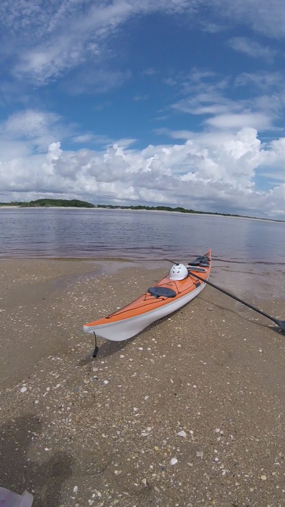
We then paddled about 8 miles North, making a beach landing right before the jetty going into Masonboro Inlet. Seas were relatively calm and weather was a lot warmer on Sunday, as there was little wind and cloud cover, unlike the previous day. However, about the time we stopped for our last landing, the weather changed and we got sprinkled on a bit, making the last hour or two of paddling a lot cooler.
After a short snack break, we got back in our boats and headed around the Jetty going into Masonboro Inlet. We had timed it so the tide was working in our favor here, having switched around 12:30 to start flowing into the inlet. As a result, we got a nice push on the way back to Trails End Park.
Our total distance for this trip was 19 miles.