When kayak surfing, I am always amazed by the amount of energy and distance you end up putting in over a relatively short distance.
This week, I went to Bogue Inlet and tried out a new GPS App on my phone. The app is geared towards running, but I was able to export the GPS data and then import it into a program for analyzing/viewing. Magic Seaweed had the conditions at about 1 ft swell and there was little wind, so surfing wasn’t great, but as always it was a really fun day. We played in the confused sea for a while, as well as a bit off shore in a small break we found.
Overall, we ended up with a 14 mile day, with an average speed of 3.3 MPH and a top speed of 10.1 MPH.
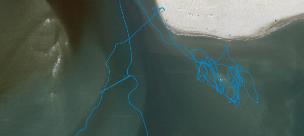
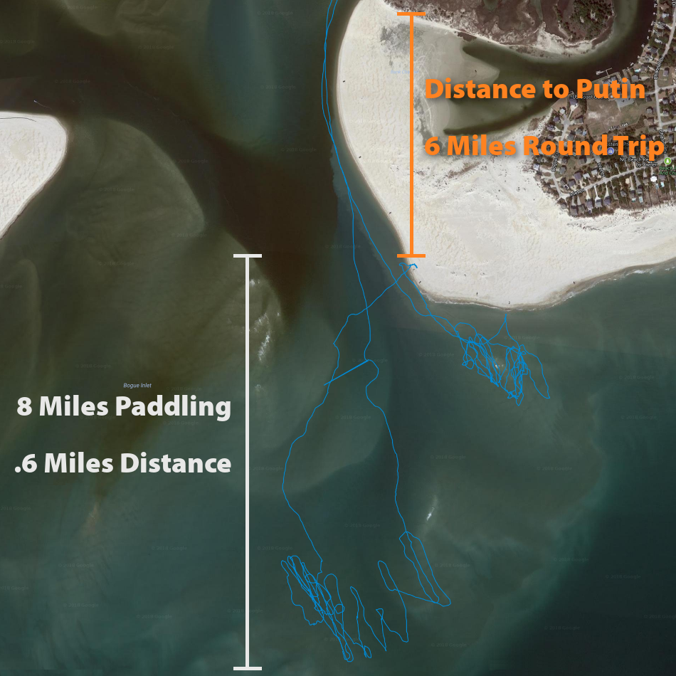
The below picture shows a map, with distances of our trip. We essentially traveled 6 miles round trip to our putin, although you can’t see all of that path in the below picture.
Then, once we started surfing, we paddled about 8 miles in a .6 by .6 mile area:
While the APP I’m using isn’t great, it is free and seems to work well enough without being terrible on the battery, so I look forward to using it on some more of my trips.