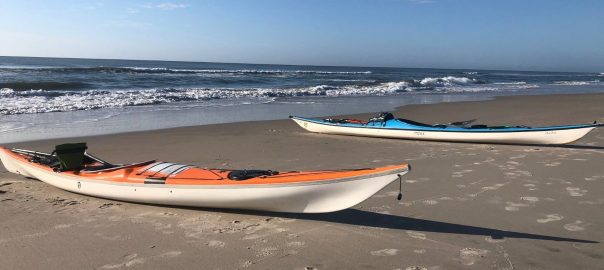
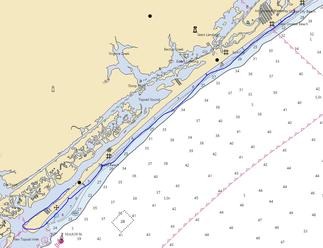
Recently, myself and one other paddler, completed a circumnavigation around Topsail Island and Surf City over the course of three days.
My fellow paddler had made this circumnavigation once before by himself, which he did in two days due to great conditions. As a result, we took advantage of this previous knowledge and there wasn’t a lot of additional planning needed in terms of camping or stopping.
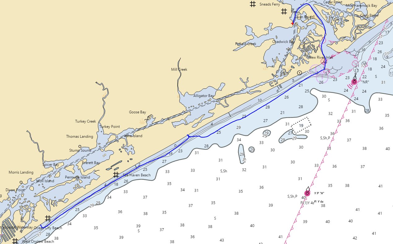
We of course still did our normal weather checking, which includes using a variety of sources including NWS coastal forecasts, along with weather reports and surf reports from various data sources and using Google Earth to review mileage, but this previous knowledge made planning for the trip much less of a chore than some previous circumnavigations.
Day 0: Arrival at Topsail Island
We set out from Raleigh around noon and after a leisurely drive arrived at the beach house we were staying at, so that we could get an early start the next day. The house was perfectly located off Ocean Drive, one street from the beach and two streets from the sound, where we would launch the next day.
The house was located about 2 miles from the end of the island and it is in the perfect location, as with the narrow width of the island, you have quick access to the ocean if you want to surf or play or the sound if you want to explore this beautiful area.
After getting settled and scoping out the beach and sound, we headed down to Santino’s Italian Trattoria restaurant for a nice dinner, then got to bed relatively early in preparation for an early launch the next day.
Day 1: Sound Side Current Fun
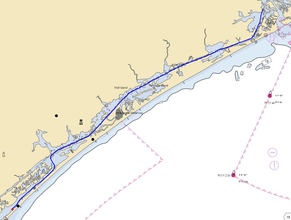
The biggest factor for this trip was weather and somewhat elevated seas and wind conditions were predicted due to an offshore storm. A Small Craft Advisory had been in place since earlier in the week and was originally scheduled to expire on Wednesday, then was extended to Friday, Saturday, and Sunday throughout our trip. As a result, we decided to play it safe and do the sound side portion of the trip the first day, then evaluate conditions and make a call at the end of the day on whether to paddle ocean side.
The downside to this plan was that it would put the tide and wind in our face, as our launch was only 2 miles from the inlet and low tide was early enough that it would be working against us during launch.
We woke up early headed to the nearby sound side access to off load our boats and get packed up. Immediately after seeing the water, we knew we would be in for a slog, as the water was flowing quickly in the opposite direction of our launch.
One trick for getting a feel for how fast it is moving is to look at a post, like the piling of a marker or dock, and if you see a downstream ‘V’ shape. This can give you a feel for both which way the current is flowing and also the speed. In this case, it was quite a pronounced ‘V’ shape.
At this point, we contemplated just going out the inlet instead and paddling ocean side and even called the campground to see if they would have availability. However, it was too early for them to answer and so it made the decision to stick to plan a bit easier.
We set out and made extremely slow progress, averaging less than 2.9 MPH, as we fought against wind and current.
Often on a longer sound-side paddle, as you move away from the inlet, you will hit a point where the push or pull from water entering or exiting the inlet during the tide cycle subsides and becomes slack. And, we’ve even experienced the opposite where the distance is small enough that it will actually reverse and the tide that you were working against becomes slack and then switches over to helping.
Unfortunately for this portion of the trip, as we were trying to do the entire sound-side portion in one day, this was not the case. After about 10 miles of paddling it did slack off for a bit, but before long the reversing tide began pushing us again. As a result, we felt like we were fighting a face-full of wind and tide all day.
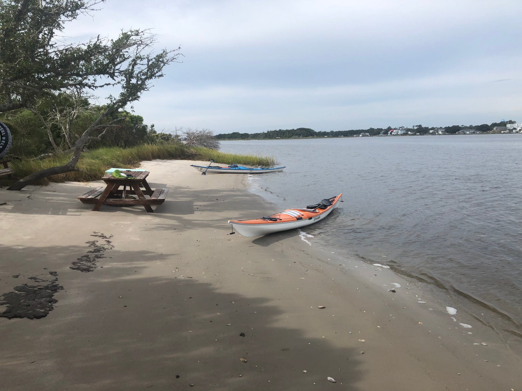
We made several stops along the way, including finding a neat spot where someone had hauled over a picnic table to the side of the ICW, before arriving at Palegix Marina(formerly New River Inlet marina).
Prior to arrival, we had tried to contact them to see if it was okay to camp there, as has been done in the past, but we were unable to reach them. This caused a bit of stress in terms of not being sure we would actually be able to camp there after a long 22 mile day. Our fallback plan was another nearby marina or possibly a nearby spoil island. However, fortunately, they were very friendly and accommodating and found a nice place for us to camp.
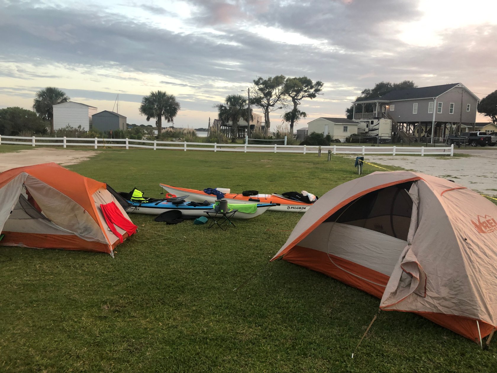
After a long day fighting strong current, we took advantage of the well stocked marina store and got some ice-cream, along with a cold beer for my paddling partner, then took a hot shower and reviewed the weather and conditions for the next day.
Stats
- Total Distance: 21.81 Miles
- Moving Average: 2.81 MPH
- Overall Speed: 2.48 MPH
- Total Time: 8.78 Hours
- Paddle Time: 7.45 Hours
Day 2: A Swift Trip to the Ocean
Weather was still predicting building seas and wind during the day, so we decided we would try to get this leg finished as quickly as possible. We got up early at around 5AM and launched by 6:30 AM in order to take advantage of the tide and get a quick ride out to New River Inlet.
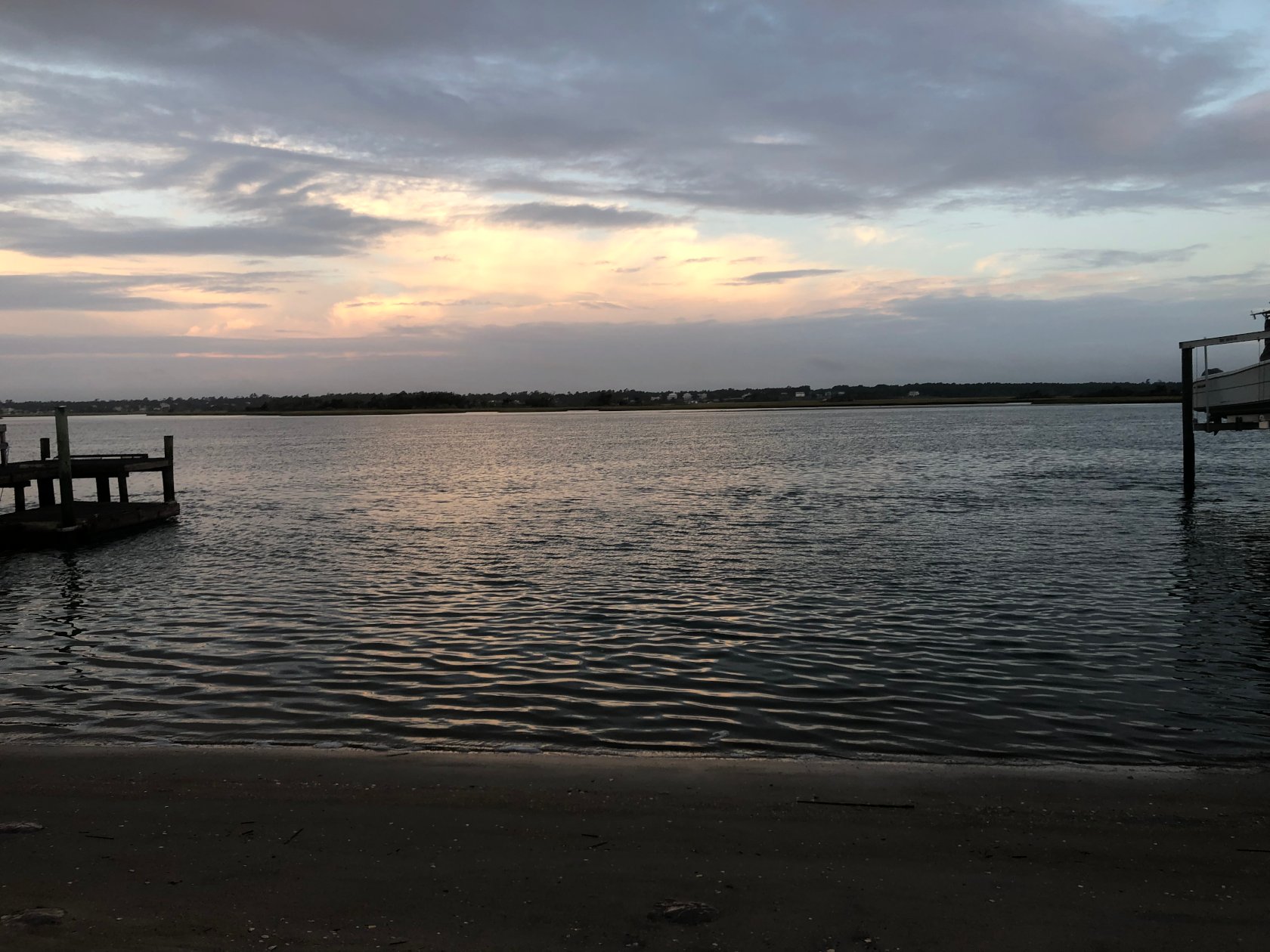
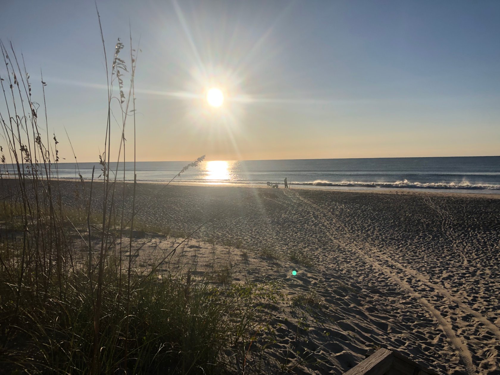
This required a short paddle in the dark, which is always a neat experience, and is usually accompanied by a glorious sunrise. This was no exception.
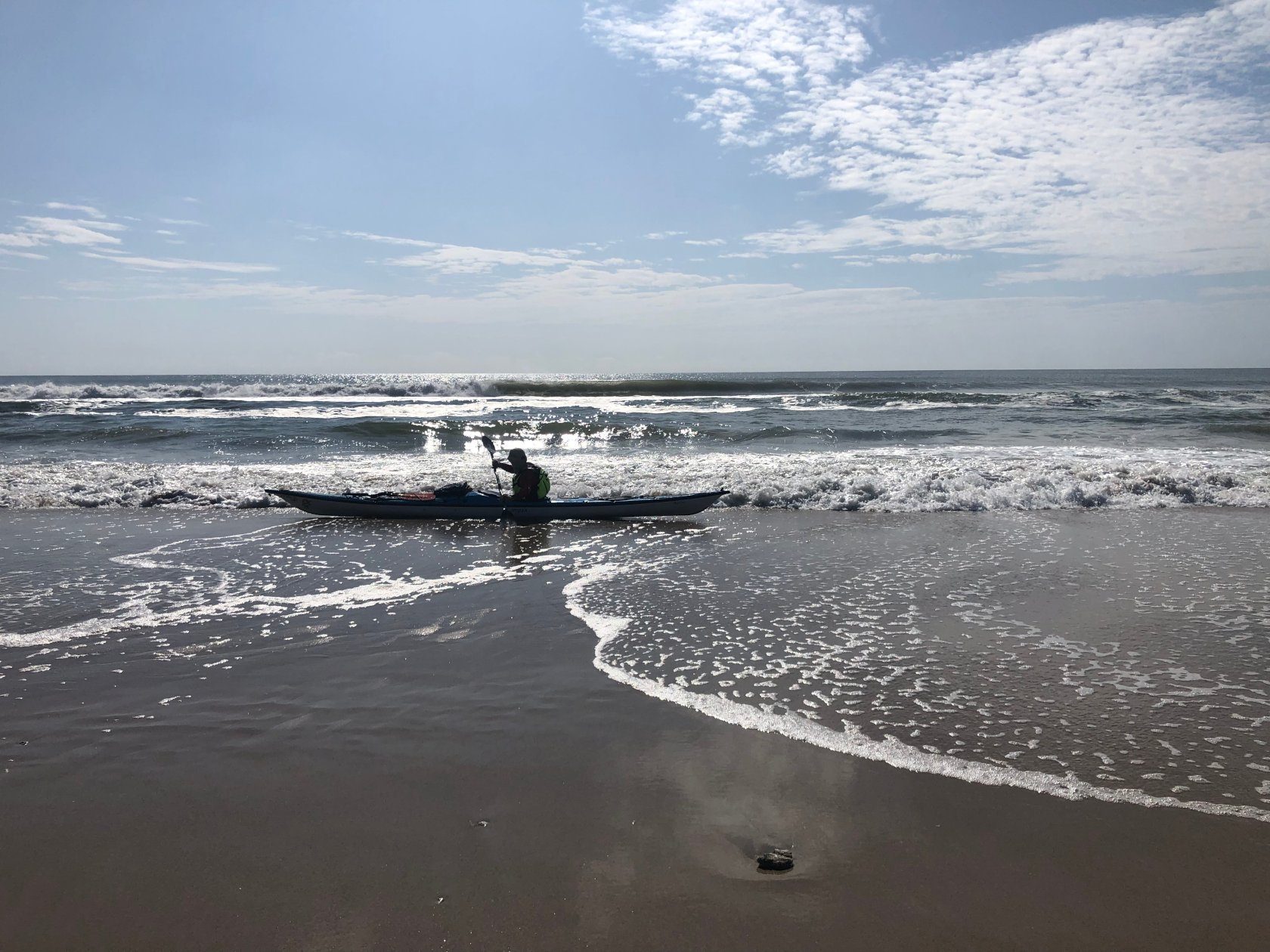
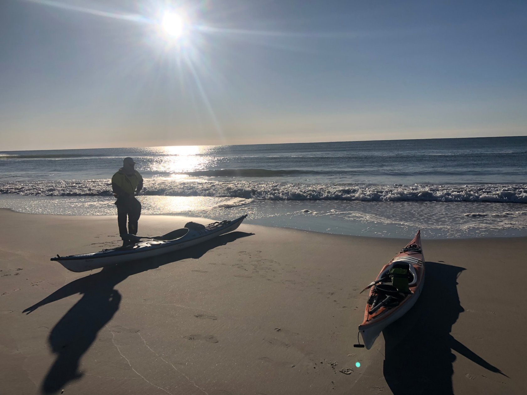
Upon arriving at the inlet, we briefly stopped at the point to look at conditions, then hopped back in our boats. The current was flowing incredibly fast at this point and we hit speeds over 7MPH with little effort. As soon as the bow of our boats hit the edge of the current, it pulled us out, much like leaving an eddy on whitewater.
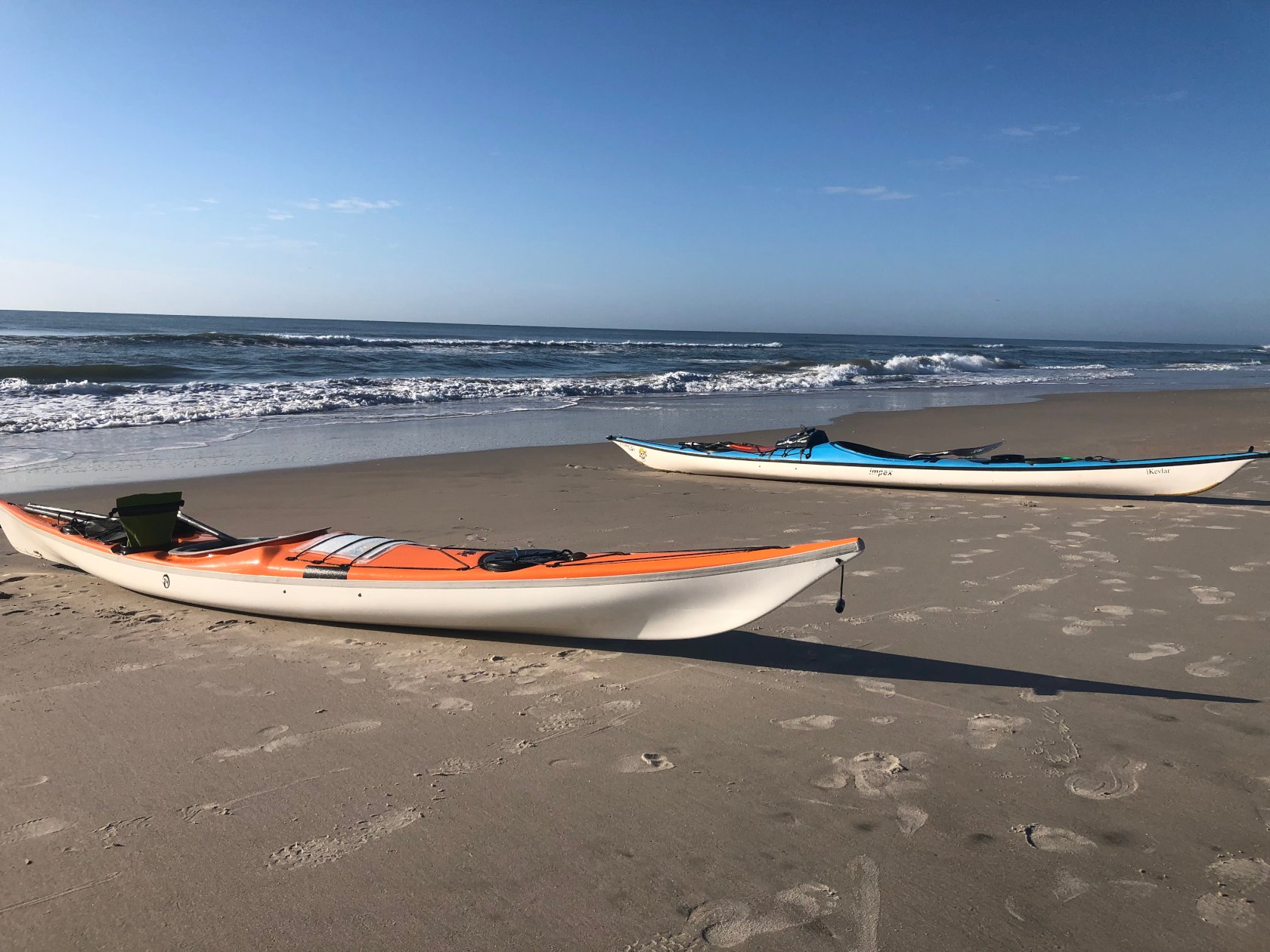
After paddling about an hour, we made our first beach landing of the trip without incident. Conditions were building and there were consistent 5′ swell, resulting in some rather big breaking surf. However, as we would find on almost all of the trip, there were two breaks at this beach. An outside break and an inside break. If you could miss the outside break, which closed out very quickly, the inside break wasn’t that bad.
While we had taken an overall mileage to our next stop, Surf City Family Campground, we neglected to adequately find landmarks so that we could find the campground visually. Anytime you are paddling from the ocean, things look different and it can be very hard to figure out where a campground is just by looking at what seems to be an endless row of repetitive houses. And, on a long day of paddling, the last thing you want to do is miss your destination.
In retrospect, we should have taken a final mileage from a pier or other easily identifiable location, so that we could better narrow in on the exact location of the campground. This is because with just a single mileage, in this case 11.5 Miles from New River Inlet, as you factor in beach landings or even just paddling a bit further out, the distance can change enough that it throws off your calculations.
The night before, we called the campground and they indicated there were several ‘rainbow’ colored houses right by the campground that we could use as a landmark.
It turned out that the person who had provided this intel had it backwards in terms of the direction we were coming from, but this along with the mileage and, as is usually the case, an increase in fisherman and swimmers right by the campground stairs, made finding the campground not terribly difficult.
We made a beach landing a bit further than we would have liked from the entrance to the campground, due to needing to avoid fisherman and beach goers, but were otherwise spot on in our identification of the campground.
At this point, conditions had built up a bit, but as is usually the case, if you are patient(or lucky), there is usually a lull that allows you to get to shore safely. In these types of situations it is basically the art of not surfing, as you need to back paddle to avoid being pushed to shore too quickly and then aggressively paddle behind the breaking waves, if you want to have a somewhat controlled beach landing.
After arriving and checking with the campground, we contemplated continuing on and just finishing the trip, which would have been another 14 miles or so. This was because it was still quite early in the day and while that would put us at a 28 mile day, we both still felt pretty good and knew that it would be a long day just sitting around.
Ultimately we decided to air on he side of caution, as the conditions were predicted to build throughout the day.
From an energy perspective this was probably a good choice as well, as it gave us some time to recover. Shortly after we arrived, we noted very dark clouds and the wind did pickup, so we certainly would have been questioning ourselves if we had soldiered on. However, other than the wind and some very light sprinkling, it didn’t end up storming.
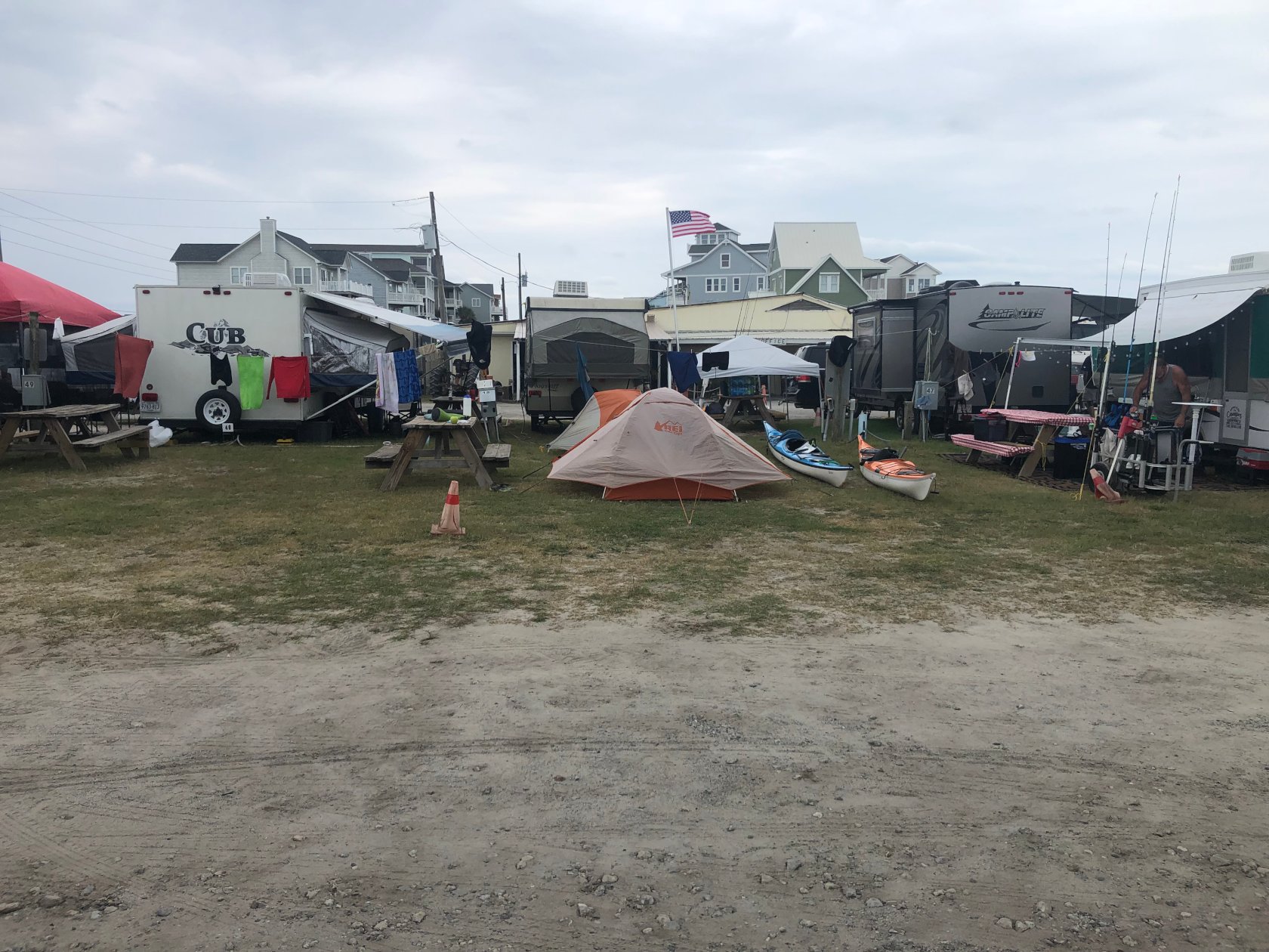
After setting up camp and taking a nice warm shower, along with more beer for my fellow paddler and ice cream for both of us from the camp store, we went exploring. Surf City Family Campground primarily caters to RVs and we only saw one other tent. The campground itself was fun to explore and extends from Oceanside to Soundside, with kayak access for both.
We walked all around the campground, then headed down the road to Surf City Line restaurant, which is about .6 miles down the road. We had tacos and burritos, which were excellent, as well as some peanut butter pie and another beer, then returned to the campground. It was very hot and sunny, as well as still quite early in the day, so we found some shade and read/relaxed for several hours, before having a second dinner and heading to bed.
Stats
- Total Distance: 14.07 Miles
- Moving Average: 3.63 MPH
- Overall Speed: 3.27 MPH
- Top Speed: 7.76 MPH
- Total Time: 4.28 Hours
- Paddle Time: 3.76 Hours
Day 3: A Family Meetup on the Beach
Our last day was relatively short, only around 14.5 miles based on google earth mapping, and due to tides we wanted to hit the inlet around 1PM or so, which would allow us to ride the flood in. With the inlet being only around 12 miles away and using the standard 3MPH figure, which no matter what seems to be what your speed averages out to over a long enough period of time on these sorts of trips, we were in no rush to launch that morning.
The plan was to stop a few miles before the inlet and meet with the family who had let us stay at their beach house on our first night. This would give us some time to catch up with them and thank them, as well as delay our arrival at Topsail Inlet, so as to ensure the tide was working in our favor.
We still got up early, before 6AM, but made coffee, then went to the beach, made breakfast and returned to the beach, and leisurely broke down camp.
A cold front had arrived, with temperatures dropping down to 53 degrees overnight, so we were both quite chilly that morning and layered up both while in camp and then for the first portion of our paddle. However, the predicted conditions had not materialized and the ocean was much much calmer than the night before.
A Small Craft Advisory was still in effect and conditions further North were larger, I believe around Hatteras the offshore swell was around 7′, but compared to the day before it was almost flat.
At around 8:30AM, we launched with little issue and headed towards the Southern end of Topsail Island.
With the conditions much calmer than the day before and in no particular rush, we would make multiple beach landings over the course of this leg of the trip. On our first one, we both shed some clothes, as despite it still being quite chilly compared to the day before, the paddling had warmed us up considerably.
This time, we had done our due diligence better and got both an overall mileage to our landing spot, where we would meet with the family who had let us stay at their house, and also a mileage from the pier right before their house. This proved to be important, as a strong off shore wind and some talking/inattentiveness, pushed us offshore about 1/4 mile and as a result, our over-all mileage would be a bit different from what we had calculated using Google Earth. However, since this time we had the foresight to also take a distance from the pier, we knew that their house should be about .73 miles away once we passed the pier and this proved to be quite accurate.
At about .7 or .8 miles from the pier, we saw them waving from their deck and headed to shore. We stopped for about an hour here and chatted, then hopped back in our boats for the final stretch to the inlet, which was only a couple miles away.
Right before the inlet, we came across two pods of dolphins, the second group we had seen on the trip, and sat and watched them play for a while. One of them repeatedly came to the surface and slapped it’s tail, much like a whale does, which is something we had never seen before.
After stopping to look at the dolphins for a bit, we took a slightly wide path through the inlet to avoid the largest of the breaking waves. Towards the point, there was some confused sea, likely due to the tide/swell coming in and meeting the offshore wind. This would have been a fun area to play in, although there were a lot of fisherman, so we just motored through.
We came around the point and did a short landing to eat a power bar, before hopping back in our boats. As planned, the tide pushed us quickly back to our soundside takeout.
Like on the ocean when trying to find the campsite, it is important to look around and find a landmark for your takeout. We knew the mileage was just at 2 miles and right past the access was red channel marker #6 almost directly in front of the takeout, so we had no difficulty finding it.
As we were arriving, a paddler with a nice Hobie, outrigger, and sail was putting in. It was neat to see him sail effortlessly against the current that had been pushing us today (and we had been fighting against on our first day).
We took a short break and spread out some of our gear to dry, then walked back to the car to change into clean clothes, before returning to load our boats and begin the trip home.
Stats
- Total Distance: 14.9 Miles
- Moving Average: 3.55 MPH
- Overall Speed: 2.61 MPH
- Top Speed: 7 MPH
- Total Time: 5.7 Hours
- Paddle Time: 3.98 Hours
Closing Thoughts
This was a fun paddle and even though the conditions were relatively calm, the dynamics of the tides, both in regards to the long soundside paddle, as well as exiting New River Inlet, made for some interesting paddling.
As is usually the case, the planning and research, which, due to how quickly weather conditions can change, is often quite dynamic in the days and even day leading up to the paddle was also enjoyable.
On this trip, I also paddle my NDK Pilgrim, instead of my Impex Category 3, which is my go to touring boat. This is because on the past couple trips, I’ve experienced a bit more water seepage in the Impex than I would like or makes me comfortable on long paddles, so I felt a bit more comfortable in the Pilgrim.
One of the reasons I do not usually paddle the Pilgrim on expedition trips is that it has a lot of rocker that reduces the waterline already relatively short length of the boat. As a result, while it is great for surfing, as you can quickly change direction and it is very responsive, you trade forward efficiency for this maneuverability. For a short paddle, it isn’t noticeable and to be fair, I’m not sure that it really impacts my overall speed, but when you compare it to the Impex, which probably has at least 2′ more of water line, the loss of efficiency becomes more apparent.
Despite this, I was pleased with the boat on this trip, which I believe was only my second overnight in it, and had plenty of space for my gear. The Pilgrim also loves rough water and the knee bumps make it quite comfortable for as low volume as it is, so I was pleased with the boat.
This circumnavigation, like the others, was a great experience and one I hope to repeat some day.
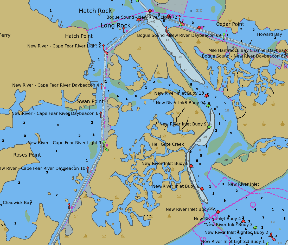
Like most trips, learning more about the area has inspired us to do another paddle in the area, this time focusing on exploring the New River Inlet and attempting to find a way through Hell’s Gate Creek.
My paddling partner had mentioned that it looked like you could take a short cut to the New River Inlet and in fact from talking with locals and looking at charts, this does appear to be the case, so in the near future, we would like to spend a day exploring this area and see if we can find a way through, bypassing the channel. This, coupled with the fact that the inlet appears to be very shallow in many places and so likely has some fun conditions, seems like it could make for a very enjoyable day paddle.