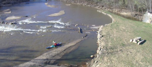
Since the Milburnie Dam was removed, I’ve tried to get out there after we’ve had some rain, which I’ve only managed three times so far. Through the help of a very knowledgeable acquaintance, I’ve been working on a way to gauge the river in order to be able to have a way to determine if the Milburnie Dam rapid is runnable. The closest USGS gauge is about 15 miles downstream in Clayton and, among other issues, that means any info you get from the Clayton gauge is quite delayed in terms of what is happening at the old Dam.
We’ve not worked it out completely yet, but I think we are close to having figured out how much rain upstream results in a bump at Milburnie Dam. The issue now is trying to determine how long it takes after a rain for it to pickup enough to make the rapid runnable.
Below are two videos from my run today, one downstream and then another after I turned around and did an attainment back to the second ledge at the Dam.
